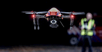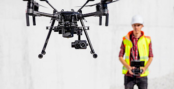
Just as with real estate flying with drones is about location, location, location.
There many zones where you are not allowed to fly without the proper permissions and preperation or not to fly at all. Every National Aviation Authority determines the zones for their own country. In some countries this can be very confusing, like Germany.
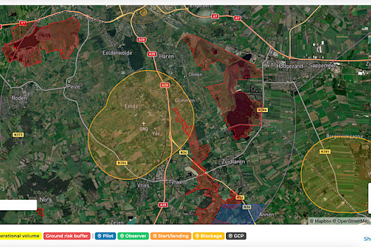
A good map to create your flightplan also needs airspace information. You need to know where you want to fly.
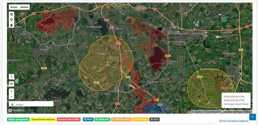
First you see the different zones in the location where you zoom. If you click on a certain point on the map, you will see a popup with the type and name of zones on that location.
Types of airspaces for drones
Every zone has an own color the differiantate them from other types of zones.
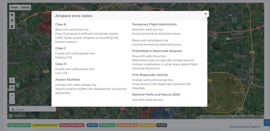
If you are not sure what type of airspace you clicked, just click on Show airspace legend for an explanation. Currently we have the following airspace zones in DroneDeck.
Class BBlue with solid blue line. Class CPurple with solid purple line. Class DPurple with solid purple line. Airport FacilitiesOrange with solid orange line. |
Temporary Flight RestrictionsRed with solid red line. Black with solid black line Prohibited or Restricted AirspaceBlue with solid blue line. First Responder ActivityOrange with solid orange line. National Parks and Natura 2000Red with solid red line. |
To fly or not to fly
With proper authorsation in your operational authorisation like PDRA S01 or similar you are allowed to request permission for a mission in a CTR. Every European country has their own procedures for that. Also flying around Natura 2000 zones might be possible with the proper permission from the agency that controls the Natura 2000 zones.
Even when you see a lot of zones, flying might be possible if you know in the type of airspace you want to fly and which agency can grant you permission for your drone operation.
New to DroneDeck? Try DroneDeck free for one month.